Opening branch overview
Building the branch home surface
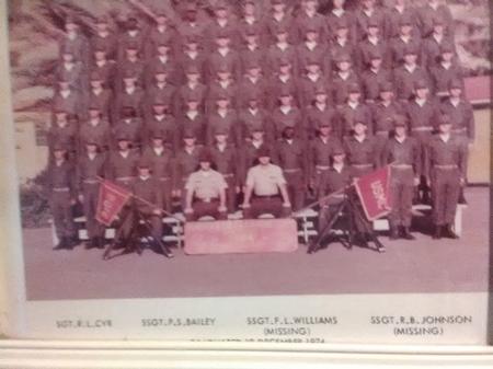
Loading branch highlights, featured unit context, and gallery moments.
Overview
Members
Units
Building the branch home surface
Loading branch highlights, featured unit context, and gallery moments.
Building the branch units surface
Loading unit filters, rankings, and the branch unit grid.

13 members•1 unit
Relive and share the memories of your service-time with your brothers and sisters in arms today. VetFriends.com can help you reconnect.
Did you proudly serve in the 2nd TOPO?
Are you looking for someone who is or was in the 2nd TOPO?
Do you have 2nd TOPO photos you'd like to share?
Then join a community with your brothers and sisters of the 2nd TOPO.
Branch
U.S. Marine Corps
Members
13
The 2nd Topographical Squadron (2nd TOPO) is a specialized unit within the Australian Army, responsible for providing geospatial and topographical support to military operations. Formed in the mid-20th century, the unit has played a crucial role in mapping, terrain analysis, and geographic intelligence for both domestic and overseas deployments. Throughout its history, the 2nd TOPO has supported major operations, including the Vietnam War, peacekeeping missions, and modern joint force operations in the Middle East. Leveraging advanced technology and skilled personnel, the squadron continues to be a vital asset for enhancing situational awareness and operational planning for the Australian Defence Force.
2ND TOPO • U.S. Marine Corps

na • U.S. Marine Corps