Opening branch overview
Building the branch home surface
Loading branch highlights, featured unit context, and gallery moments.
Overview
Members
Units
Building the branch home surface
Loading branch highlights, featured unit context, and gallery moments.
Building the branch units surface
Loading unit filters, rankings, and the branch unit grid.

2 members•1 unit
Relive and share the memories of your service-time with your brothers and sisters in arms today. VetFriends.com can help you reconnect.
Did you proudly serve in the ETHIOPIA-US MAPPING MISSION?
Are you looking for someone who is or was in the ETHIOPIA-US MAPPING MISSION?
Do you have ETHIOPIA-US MAPPING MISSION photos you'd like to share?
Then join a community with your brothers and sisters of the ETHIOPIA-US MAPPING MISSION.
Branch
U.S. Army
Members
2
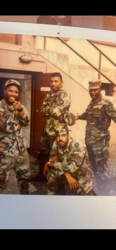
The **Ethiopia-United States Mapping Mission** was a joint military and technical initiative that began in the early 1960s, aiming to produce accurate topographic maps of Ethiopia. Conducted primarily by the U.S. Army Corps of Engineers in collaboration with the Ethiopian government, the mission involved aerial surveys, ground control point establishment, and extensive cartographic work. This project provided essential geospatial data that supported Ethiopian infrastructure development and enhanced military planning and national defense capabilities. The Mapping Mission strengthened bilateral relations and left a legacy of modern mapping standards and technical expertise within Ethiopia.
9th Engineer Batallion • U.S. Army

U.S. Army

278 Signal Corp • U.S. Army
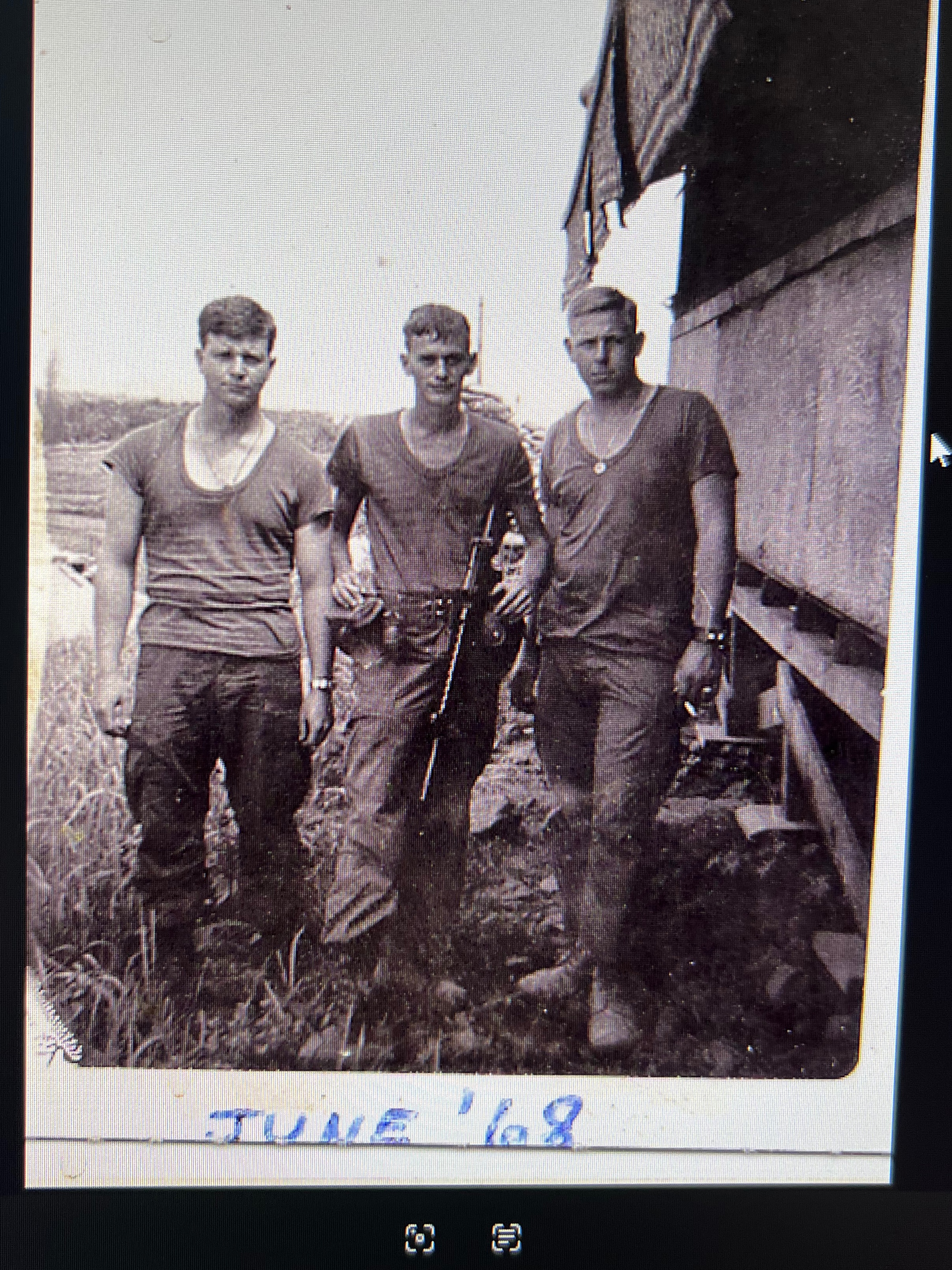
11th light infantry • U.S. Army • 1968