Opening branch overview
Building the branch home surface
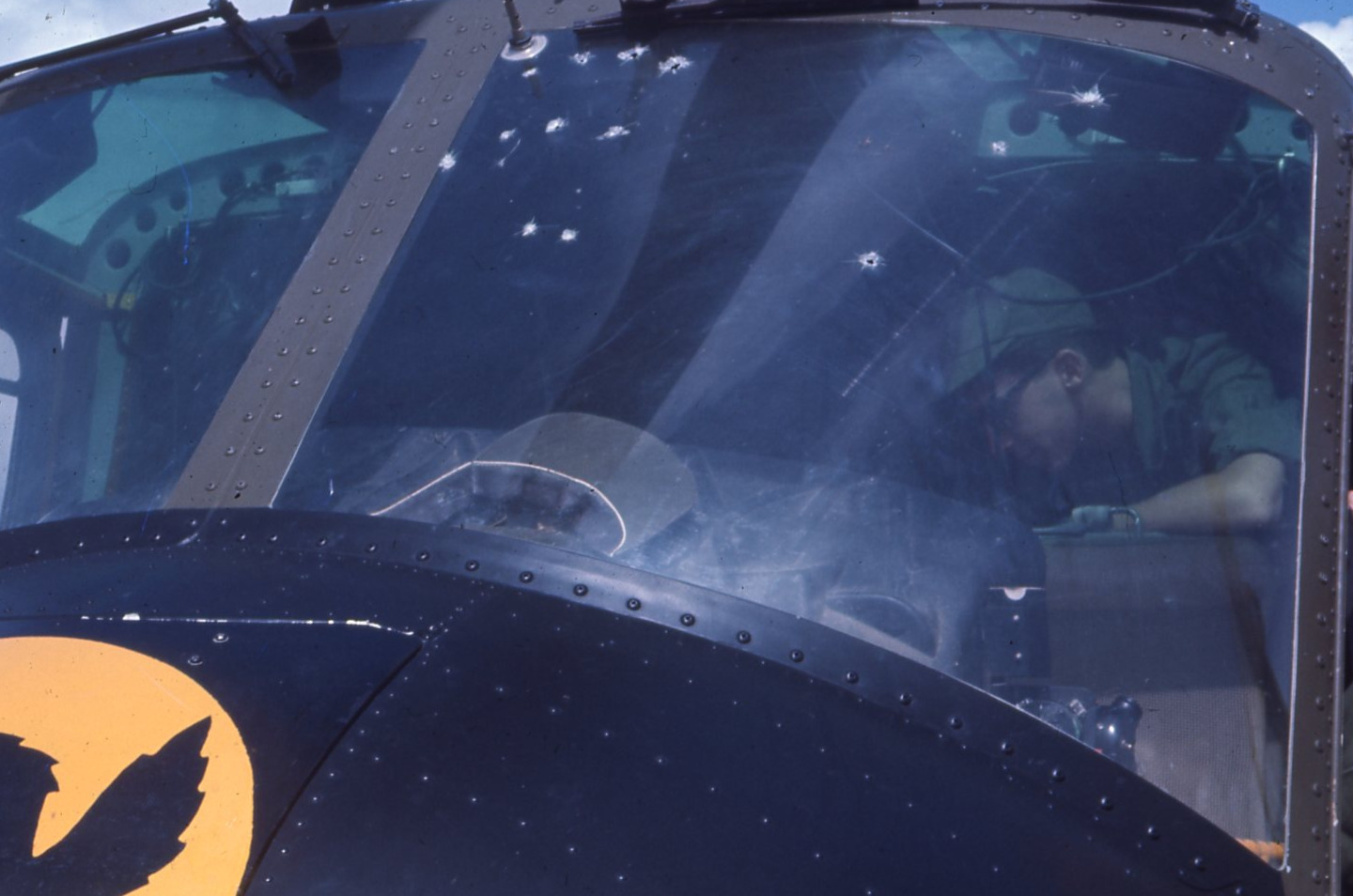
Loading branch highlights, featured unit context, and gallery moments.
Overview
Members
Units
Building the branch home surface
Loading branch highlights, featured unit context, and gallery moments.
Building the branch units surface
Loading unit filters, rankings, and the branch unit grid.

4 members•1 unit
Relive and share the memories of your service-time with your brothers and sisters in arms today. VetFriends.com can help you reconnect.
Did you proudly serve in the 595th Topographic?
Are you looking for someone who is or was in the 595th Topographic?
Do you have 595th Topographic photos you'd like to share?
Then join a community with your brothers and sisters of the 595th Topographic.
Branch
U.S. Army
Members
4
The 595th Topographic Company was a specialized unit in the United States Army responsible for providing geospatial and topographic support. Activated during the Vietnam War era, the unit played a crucial role in producing maps, terrain analysis, and other geographic intelligence for combat operations. The 595th’s work enabled commanders to better understand and navigate complex environments, directly supporting mission planning and execution. Their expertise in cartography and survey operations made them a vital asset to military operations throughout their service history.
U.S. Army • 1966

C-6-2 • U.S. Army

U.S. Army • 2026

148th Infantry Regiment • U.S. Army • 2012