Opening branch overview
Building the branch home surface
Loading branch highlights, featured unit context, and gallery moments.
Overview
Members
Units
Building the branch home surface
Loading branch highlights, featured unit context, and gallery moments.
Building the branch units surface
Loading unit filters, rankings, and the branch unit grid.

37 members•1 unit
Relive and share the memories of your service-time with your brothers and sisters in arms today. VetFriends.com can help you reconnect.
Did you proudly serve in the 537th Topographic Survey Btl?
Are you looking for someone who is or was in the 537th Topographic Survey Btl?
Do you have 537th Topographic Survey Btl photos you'd like to share?
Then join a community with your brothers and sisters of the 537th Topographic Survey Btl.
Branch
U.S. Army
Members
37
The 537th Topographic Survey Battalion was a specialized unit within the United States Army responsible for providing critical mapping, surveying, and geodetic support to military operations. Activated during World War II, the battalion played a key role in producing accurate topographic maps and conducting surveys essential for planning and executing campaigns, particularly in the European and Pacific Theaters. After the war, the 537th continued its technical mission, supporting both peacetime and combat operations by updating maps and geographic data for the Army. The unit’s expertise ensured that commanders had the precise terrain information necessary for strategic and tactical decision-making throughout its active years.

Field artillery • U.S. Army
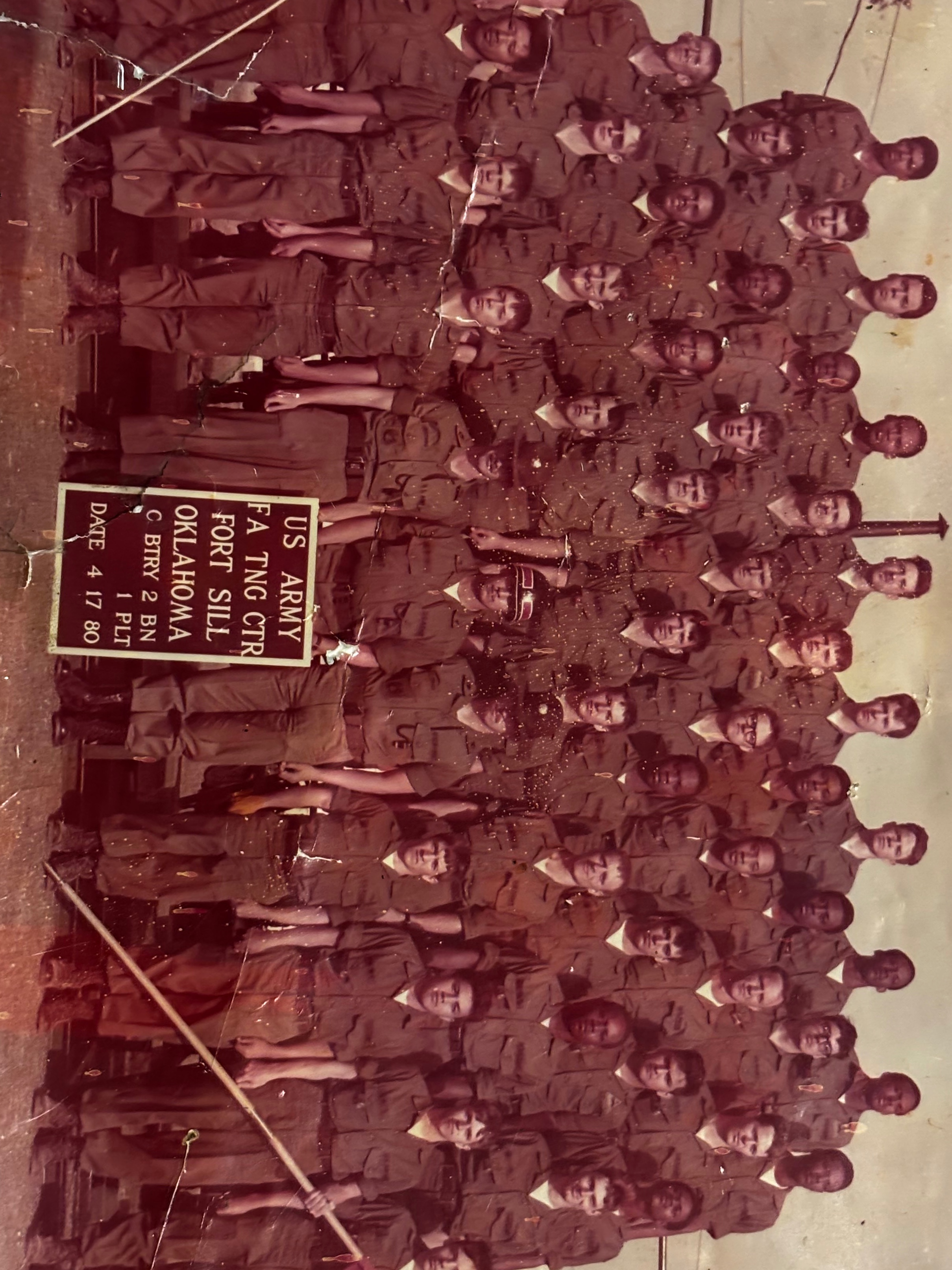
U.S. Army • 1980

U.S. Army • 1977

U.S. Army