Opening branch overview
Building the branch home surface
Loading branch highlights, featured unit context, and gallery moments.
Overview
Members
Units
Building the branch home surface
Loading branch highlights, featured unit context, and gallery moments.
Building the branch units surface
Loading unit filters, rankings, and the branch unit grid.

37 members•1 unit
Relive and share the memories of your service-time with your brothers and sisters in arms today. VetFriends.com can help you reconnect.
Did you proudly serve in the Geodetic Survey Squadron?
Are you looking for someone who is or was in the Geodetic Survey Squadron?
Do you have Geodetic Survey Squadron photos you'd like to share?
Then join a community with your brothers and sisters of the Geodetic Survey Squadron.
Branch
U.S. Air Force
Members
37
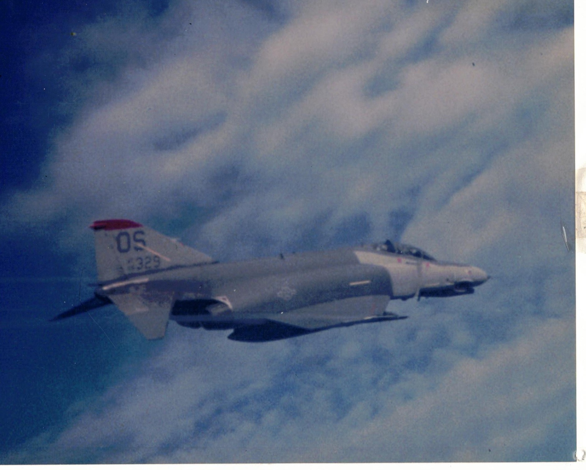
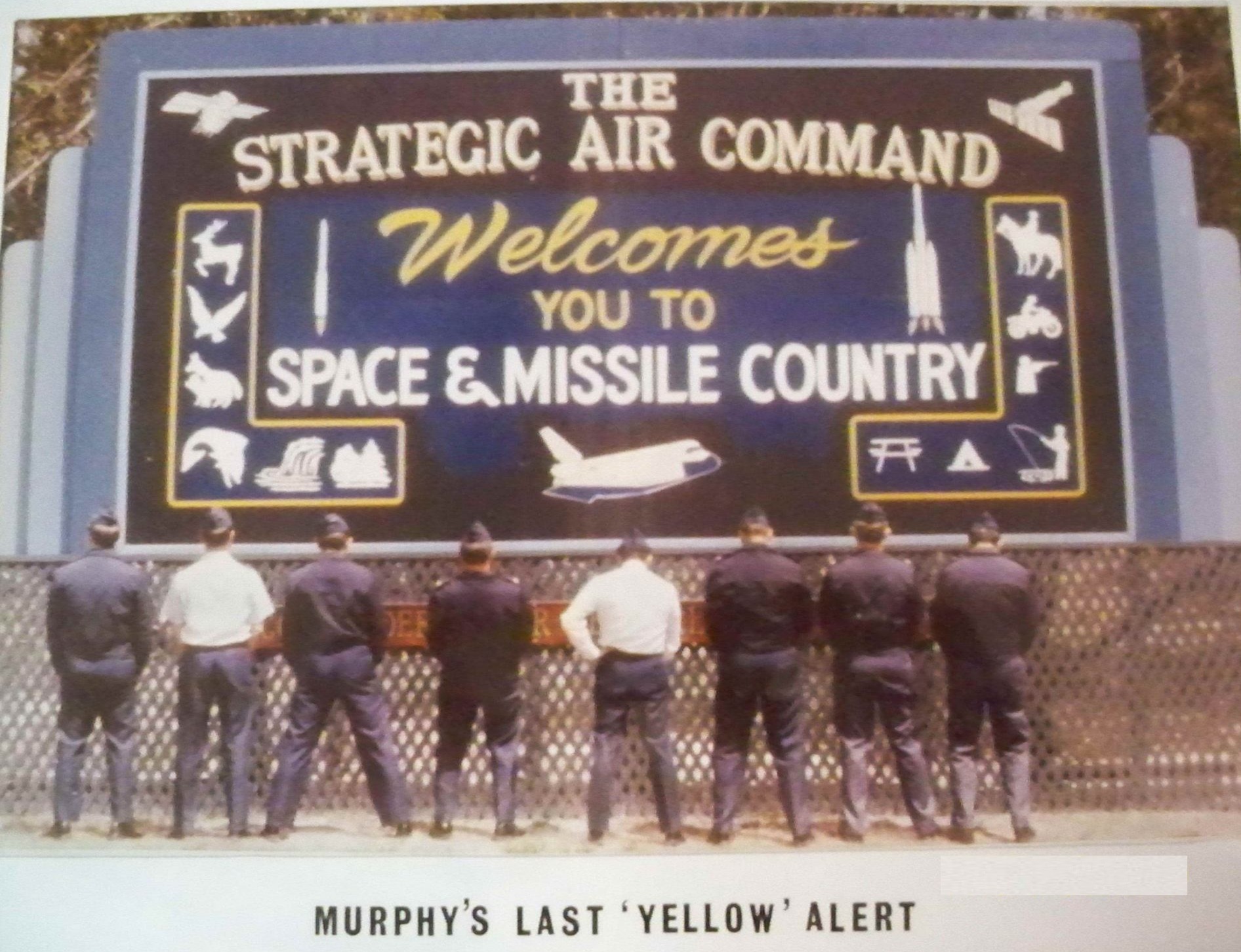
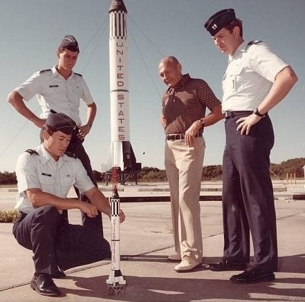
The Geodetic Survey Squadron was a specialized unit of the United States Air Force, established in 1959 to provide precise geodetic and surveying support for military and national defense operations. Originally organized as the 1381st Geodetic Survey Squadron, the unit was tasked with conducting geodetic surveys, gravity measurements, and astronomical observations critical for accurate mapping, navigation, and targeting. The squadron played a key role in supporting the development and maintenance of the Defense Mapping Program and contributed to the accuracy of intercontinental ballistic missile (ICBM) systems during the Cold War. In 1989, the unit was redesignated as the 1st Geodetic Survey Squadron before being inactivated in 1993, with its functions absorbed by other defense mapping organizations.
Kadena AB, Okinawa • U.S. Air Force • 1989

U.S. Air Force • 2026
6595 • U.S. Air Force
6555th ASTG • U.S. Air Force